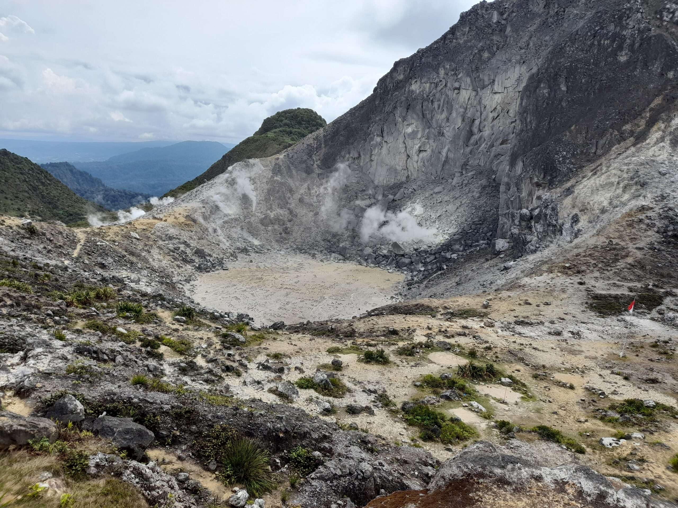
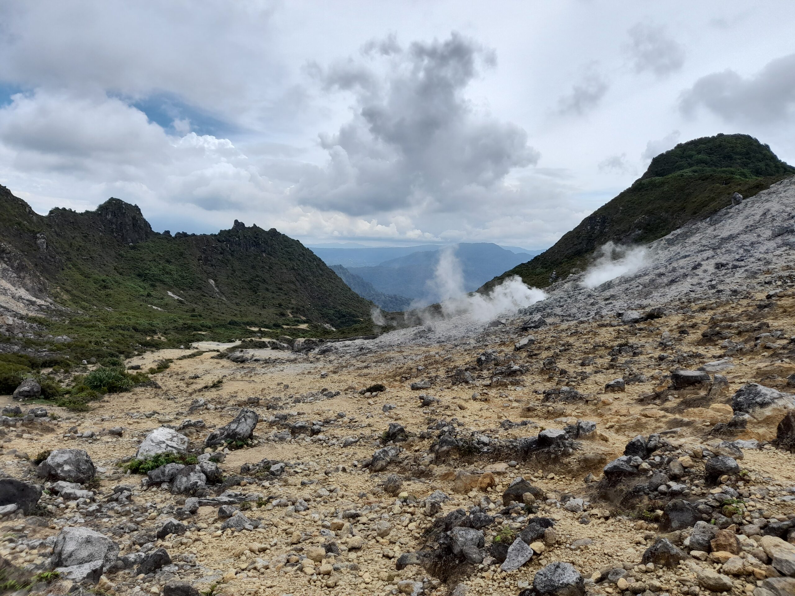
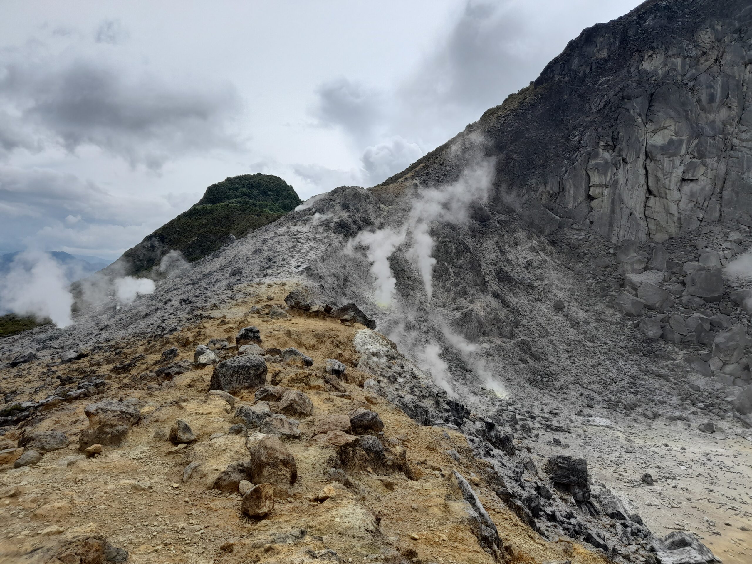
I traveled gunung Sibayak of berastagi in september 2022 . In Indonesia mountains are called Gunung . In this area Climate was little humid and rains a lot in this time . Fortunately in the time of climbing , there was no rain . It is a stratovolcano near to the city Berastagi and last erupted in 1881 . Altitude of this mountain is 2181 meter . In the way towards the top you can see lots of different types of vegetation . In the top you can see lots of vents from where hot sulpheric gases were coming out . Due to the presence of sulfer in the atmosphere , it smell very bad . You can see the yellow sulfer is accumulating just in the mouth this vents .
Hiking sibayak

{text align:centre;}second way

First Road:-
From berastagi city to the mount sibayak there is two way
- If you go by this first way , then from the struggle monument(Berastagi) you have to take a ankot(a form of public transport) toward hot spring and cost 10000 IDR max . From this point you have to walk 2-3 km to reach to the gate of Mount sibayak .
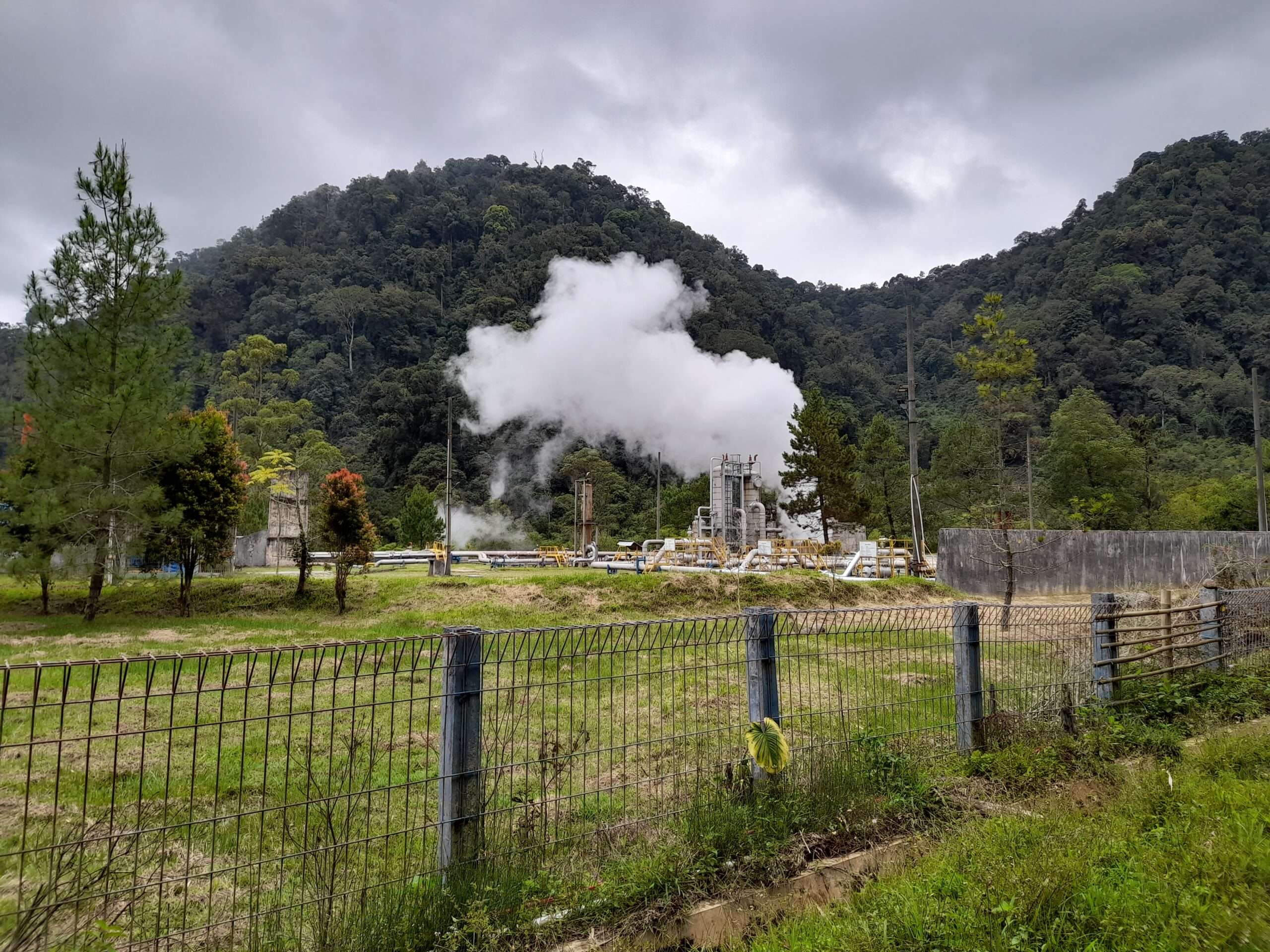
- First , you will pass the a thermal plant which runs with the help of hots spring . You will see white smoke is coming out and roaring sound from the plant . This road is very lonely , you can see some motorcycle in the way . In the hiking you may see some hotels or some locals traveling by mototrcycle and some barking dogs . This dogs will bark on you without any reason you should be very careful about the dogs .
- The most beautiful part of the journey is , you can see lots of fruit farms beside the road . In this farm you can see strawberry , orange , blackberry plants . First time in my life I see strawberry farming . In between strawberry there is Orange trees where oranges were hanging from the branches of this trees .
- After reaching to the gate First you have to buy a ticket to hike the mountain . After that there is steep tarmac road upto a temple . In this place there is some Shops . This is the last place of human in-habitation . From here to the top there is no people live and may be 2-3 km of walk . Here roads are difficult and in this small way you can see different vegetation accordingly to the altitude . You can see lots of different colored plant .
Second Way
- For the second way Ankot will reach upto the area Warung kelinci racing . Exact bus stop name I forgot but it will come near to this point . Here is the last stop of public transport Ankot .
- From this area to the Sibayak gate is almost 5 km and motorcycle is charging very high rate so I decided to walk this way .
- In this way there is little or none inhabitant . So I almost walk alone . The road is up and down . Sometimes some motorcycle passed by me .
- sometimes , from this way also you can have a glimpse of Mount Sibayak .
- I was in the middle of the way , Fortunately some lady give me lift toward the Sibayak Gate .
- From here , I purchase the ticket and started to walk toward mount sibayak . Here road is mostly broken and very steep .
- After walking 2-3 km you reach that temple . This is the last human inhabitant . From here there is no proper road and you have to hike to the top .
Ganja Azerbaijan
hyder aliv parki Imamzada ibrahim Ganja azerbaijan is the second largest city of the country…
chittagong city
Chittagong port Chittagong city is situated in the Eastern part of the Bangaladesh and it…
Turkistan kazakhstan
Mausoleum of Khoja Ahmed Yasawi Turkistan Kazakhstan is a desert town situated near to the…
Quba Azerbaijan
Apple Garden Did you love Apples ? then Quba is the perfect place for you…
ancient city of polonnaruwa
bendiwa Lake Ancient city of polonnaruwa is the second ancient capital of sri Lanka after…
tourist places in jaffna
Casuarina Beach Jaffna is the northern most town situated in Srilanka . Tourist places in…
I started this journey in the first route . Google maps does not work well as there is lots of big trees . Though I was following the google map route , After sometimes some car was coming from that road and they said that on that road there was no mount sibayak , So I become little confused and waited any locals to come . Then suddenly I saw some local ventors going by the mororcycle . I asked him , he said you are in the right path but mount sibayak is too much far . From this point it is like 5-6 km .
The ankot dropped me in the base stop , asked me to drop to the mountain but he asked me 100000 IDR . It will be expensive for me . So I started to walk on that way alone . Literally no body was walking on that road and after sometime some motorcycle passed by . I walked 3-4 km in this way . I try to hitchhiking a bike on that way and finally a lady give me a ride to final 2-3 km to the gate of the mountain .
From here you have to buy a ticket and the way is more steep . Sometimes road is broken . When you walk on that road , sometimes you get a glimpse of the mount sibayak . You can see the smoke is coming out from the body of the mountain .
Treaking from this temple to the crater of Gunung Sibayak

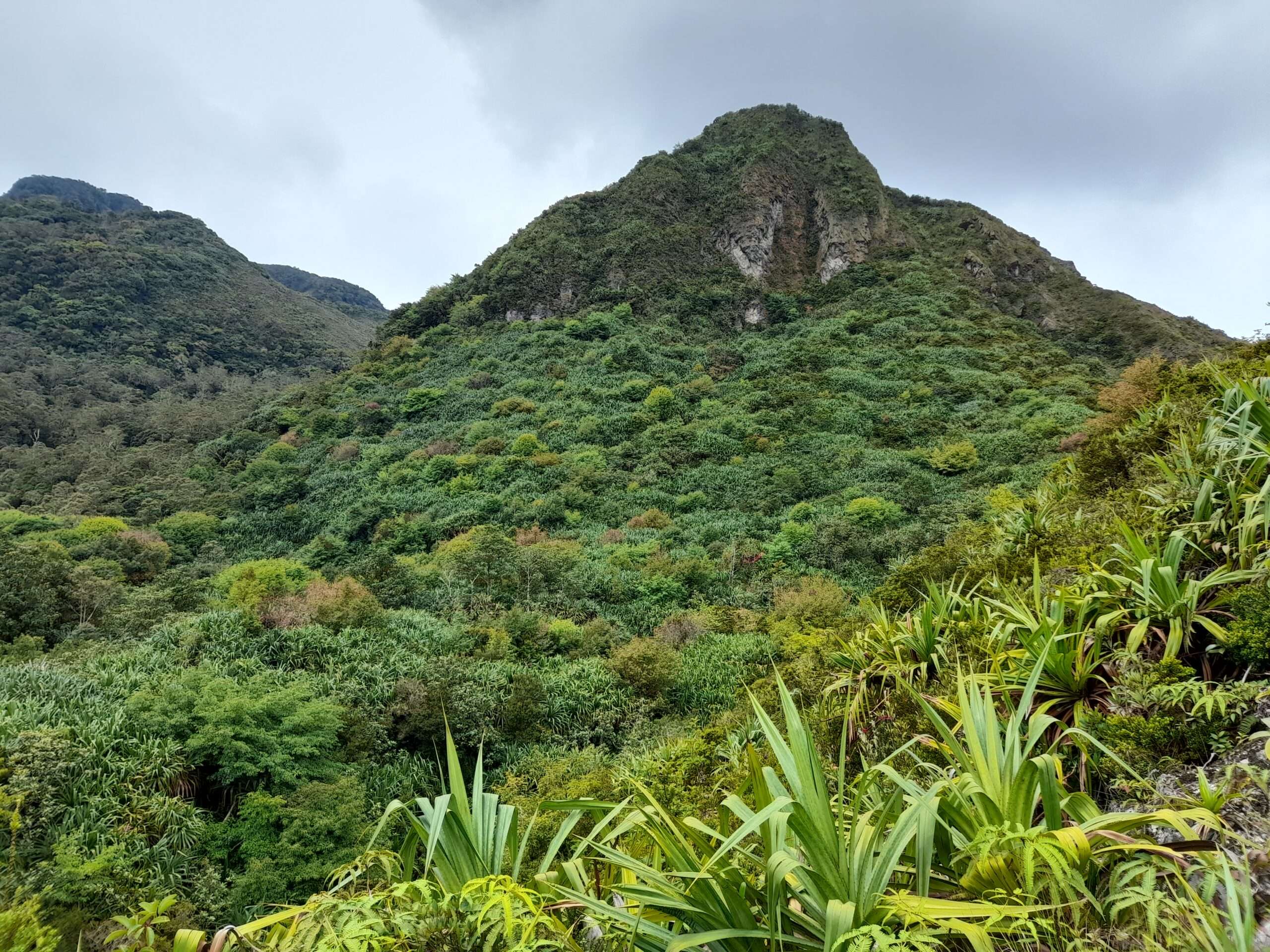
This 2-3 km trekking , which is most difficult in this journey as there is no well maintained road . Soils benith your feet is very fragile and you have to step very carefully . I would say in the time of Rain you must stop trekking on this road as roads are like trenches and there is a good chance of flash flood in this road . You can see the road was build by digging a hole in the mountain .This area have been very popular among the local Indonesia for camping . You can see lots of teenagers in a group with camping material climbing toward the crater of this Volcano .
When you enter this area first you go through a dense forest of Palm tree . After walking through this place you enter a place where soil is like fragile and mix of lime and sulfer .
Then you walk between the forest of different colored canopy and in this way you get some small water stream which you have to cross .
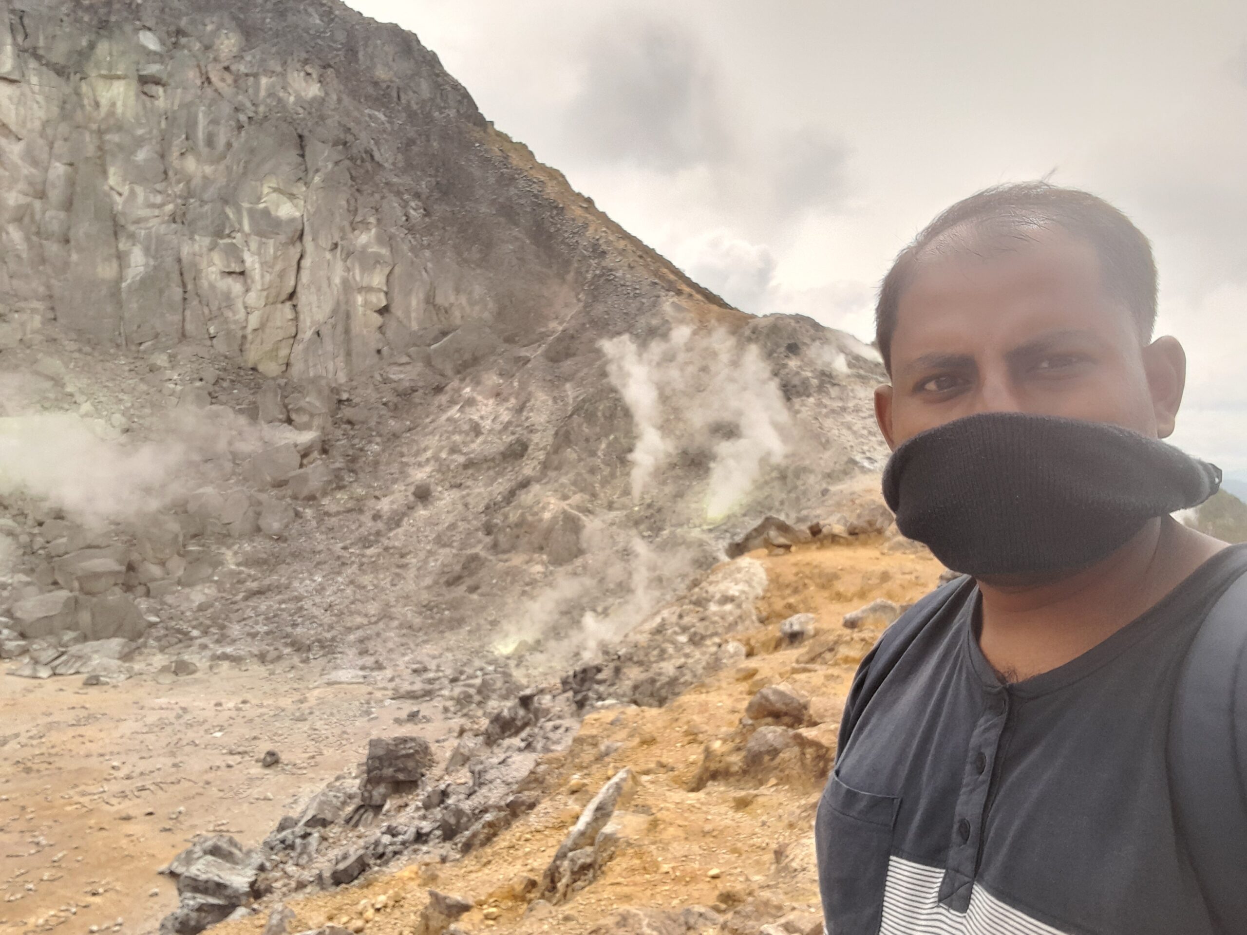
After crossing this forest you finally reached to a place where , there is no trees . Soil of this area is yellow and white . In the surface of this mountain there is small vents , from where this toxic gases is coming out . This gases are coming out deep inside earth’s crust . This make roaring sound when coming out . For this gases you may have breathing difficulty and burning eyes problem . I specifically covered my nose and mouth with wet handkerchief . I see in Discovery channel that doing this will reduce the uncomfort caused by this gases . In this area you have to be very careful because soils are very fragile and anytime you may slip.
Finally you reached the crater , You can see a big round cup like landscape . When volcano erupts this area exploded and mud and gases coming out from this area .
Just near to the vents from where this gases coming out , you can see yellow sulfer is accumulating . some local people coming in those volcano , just for collecting this sulfer . As this sulfer is used mostly in costly cosmetic market . Most famous mountain for sulfer mining in Indonesia is Kawah Ijen , which is situated in the eastern Java Island .
When you getting down from the Crater you should be very careful about the road as you may confused by the correct road as it did happens in my case . then I follow the route of climbing passengers .
Is mount sibayak active ?
Mount sibayak is a strato volcano and last erupted in the year 1881 but still it is not totally inactive as sulpher gases are released from the vents in the mountain . There was a hot water spring in that site . Electricity is produced from that hot spring .
Summary :-
Mount sibayak is a stratrovolcano and situated near to the city of Berastagi in Sumatra . It’s elevation is 2212 meter .In the crater you can see lots of vents from where toxic gases coming out and making roaring sound . There is two way to reach to the base of the Mountain , in my way towards Hot spring is more easy and you have to walk less . In this way you get public transport very near to the volcano . Anyhow , Final 2-3 km from the temple you have to walk inside the forest to reach to the crater . In rainy season this crater becomes a lake .
